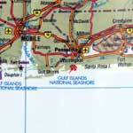
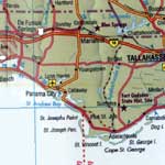
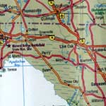
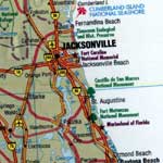
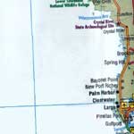
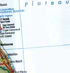
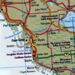
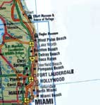
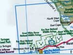
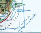
Map of Florida
The state of Florida is located in the southeastern United States, on the Gulf Coast. The Gulf of Mexico is to the west of it and Alabama and Georgia to the north. The east side of Florida is bordered by the Atlantic Ocean.
The Spanish explorer Juan Ponce Leon discovered Florida in 1513 AD and he named it "La Pascua Florida" which means "flowered Easter". It was a European colony until 1845 when it became one of the Unites States of America. Nowadays, apart from the Americans citizens of Florida, there is also a large number of Spanish inhabitants. It is a multicultural state with influences from Europe, Africa and America which are expressed through daily life, cuisine or architecture. At the same time, it is a popular holiday destination thanks to its long coastline which, in combination to the warm weather, contributes to the touristic development of the State. In fact, tourism is one of the major sectors of its economy. Large amusement resorts and parks have been constructed in Florida attracting a large part of American people, all year long while the Golf and tennis contests held continuously in Florida, attract a lot of international athletes.